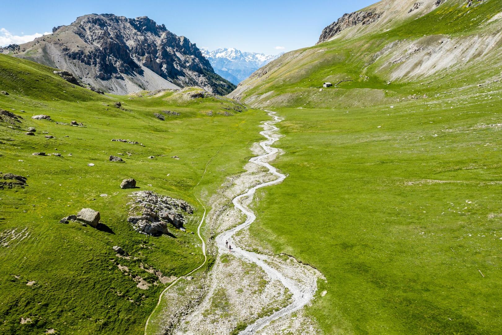
Vallon Laugier
Sport, Pedestrian sports, Hiking itinerary
in Vars
8.8
km
- Departure
- Vars
-
-
Difference in height
- 565.635 m
-
-
-
Spoken languages
-
-
-
-
-
Documentation
- GPX / KML files allow you to export the trail of your hike to your GPS (or other navigation tool)
-
- 566 meters of difference in height
-
- Maximum altitude : 2353 m
- Minimum altitude : 1787 m
- Total positive elevation : 566 m
- Total negative elevation : -566 m
- Max positive elevation : 336 m
- Min positive elevation : -128 m