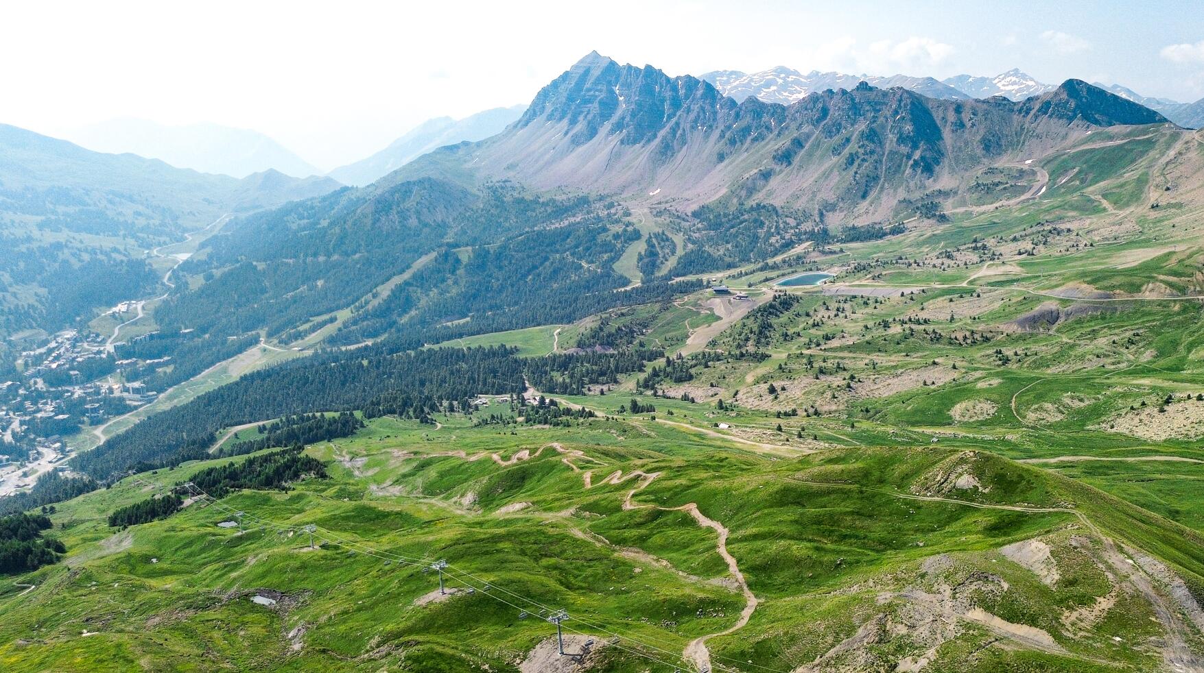
Crête de la Mayt
Sport, Pedestrian sports, Hiking itinerary
in Vars
3.1
km
- Departure
- Vars
-
-
Difference in height
- 86.9883 m
-
-
-
Spoken languages
-
-
-
-
-
Documentation
- GPX / KML files allow you to export the trail of your hike to your GPS (or other navigation tool)
-
- 87 meters of difference in height
-
- Maximum altitude : 2524 m
- Minimum altitude : 2140 m
- Total positive elevation : 87 m
- Total negative elevation : -383 m
- Max positive elevation : 87 m
- Min positive elevation : -383 m